Severe thunderstorms moved through western Kansas Thursday afternoon with reports of strong winds and quarter inch hail. Severe thunderstorm warnings were issued for parts of Meade, Pawnee, Edwards, Trego, Rooks and Phillips counties. Storms developed in southwest Kansas and began moving north. A tornado warning was issued for Beaver County in the Oklahoma panhandle and the warning was extended into Meade County as the storm moved into Kansas. Radar indicated rotation with a storm near Forgan, and that storm was moving to the north.
A tornado watch was issued for several counties in south central Kansas, and the watch area extended into northwest Oklahoma. The Kansas counties in the watch were Pratt, Barber, Stafford, Kiowa, and Clark counties. The watch was in effect until 10 p.m. Thursday.
A few storms with heavy rain moved through Harper, Kingman, Reno, Sedgwick, Sumner and Butler counties, but that activity was not severe. Storms are expected to continue into the overnight hours with some strong to severe storms possible.
(previous story)
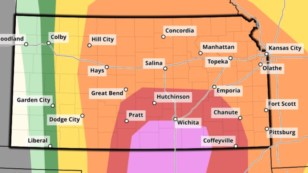
Sedgwick and surrounding counties could see strong to severe storms move through this afternoon.
Hail and high winds are expected to be the main threats. The National Weather Service says some parts of South Central Kansas could see hail up to 2-inches in diameter. There is the possibility for a tornado too, but the highest tornado threat is expected to be in the Texas and Oklahoma panhandles.
Storms are expected to move into the Wichita area later in the afternoon, between 3 p.m. and 6 p.m. As they merge, heavy rain will be a threat too. After all the rain we’ve had recently, more rain will have a tough time draining away. Our partners with Storm Team 12 expect the heavy rain overnight to be mainly west of Wichita, with 2 to 5-inches possible. Wichita may see it’s heaviest rain Friday morning.
Rain is in the forecast through Tuesday, so flooding may remain a top concern for a while.